Every car is already a road survey
Every driver knows where the potholes are. The people who fix the roads often don't. So I'm running an experiment to turn the phone already on the dashboard into a dashcam that maps the road.

Sani Yusuf21 Oct 2026 · 8 min read · 1,917 words
Maison Kayser recently opened in Abuja, and it's a nice spot. Right by the roundabout there, there's a traffic light that shows red and amber at the same time in the afternoon. To the naked eye, nothing looks wrong. But that light is completely broken, and sometimes it causes real confusion.
Now do a U-turn right in front of Maison Kayser. There's a pothole there that has been growing and growing, because water keeps sitting in it. If you're coming off the roundabout at full speed on your way to the new Maitama Bridge and you have no idea it's there, you hit it smack bang in the middle. That could be the difference between life and death.
But here's the thing. Everybody knows about it. If you ply that road, I'm not telling you anything you haven't seen yourself. Walk around Abuja and you'll see open manholes all over, because scavengers have taken the covers. These are realities, and most people can point to exactly where they are.
Yet almost none of it is written down anywhere that matters.
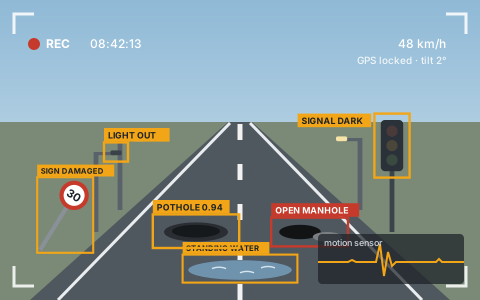
- Potholes
- Lights out
- Open manholes
- Dark signals
- Flooding
- Damaged signs
The problem
Roads change faster than anyone measures them. A small crack becomes a pothole in one rainy season. A streetlight goes off and nobody reports it, because everybody assumes somebody else already has. By the time the people responsible find out, through a complaint, an inspection or an accident, the repair costs more and the danger has been sitting there for weeks.
The trouble is, most systems for fixing roads depend on people reporting problems. In Nigeria, that barely happens. Reporting a pothole is simply not a habit for most of us. There is rarely an easy way to do it, and even when there is, there is little sign that anyone acts on it. So the problems go unrecorded.
Proper road surveys do exist. They use specialist vehicles and they are expensive, so each road gets looked at once in a long while. In between, nobody can tell you which hundred potholes matter most this month, or how many streetlights in a district are off tonight.
The information exists. It sits in the heads of millions of drivers and disappears as soon as they park.
Collecting, not reporting
So I started from a simple position. If people won't report road problems, stop asking them to. Collect the information instead, quietly, while people drive the way they already drive. Nobody has to stop, take a picture, fill a form or remember to complain. The road gets recorded as a side effect of an ordinary journey.
The idea
Most drivers already have a decent camera, GPS and motion sensors sitting on their dashboard. It's called their phone.
The idea is an Android app that turns that phone into a dashcam. It records the road while you go about your day, notes where the car was and how hard it jolted, and sends it all to the cloud. There, software looks for road problems and pins each one on a map.
For the driver, it's no different from a normal dashcam. Mount the phone, drive, done. The same footage that protects you also helps build a live picture of the roads.
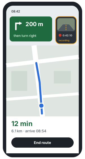
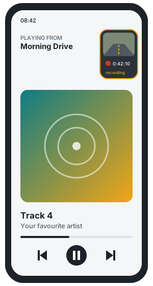
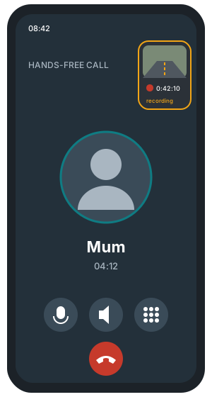
And no, you don't have to give up your phone to do it. The app records quietly in the corner while you carry on with your maps, your music or your calls.
How it works
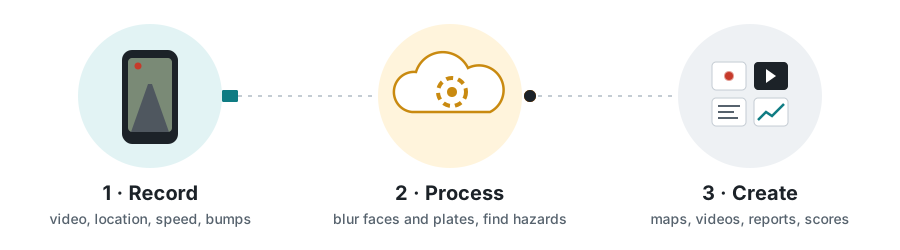
Three steps, and only the first one involves the driver. What comes out the other end can be useful to drivers, to the people who own the roads, and to the rest of us.
What it could create
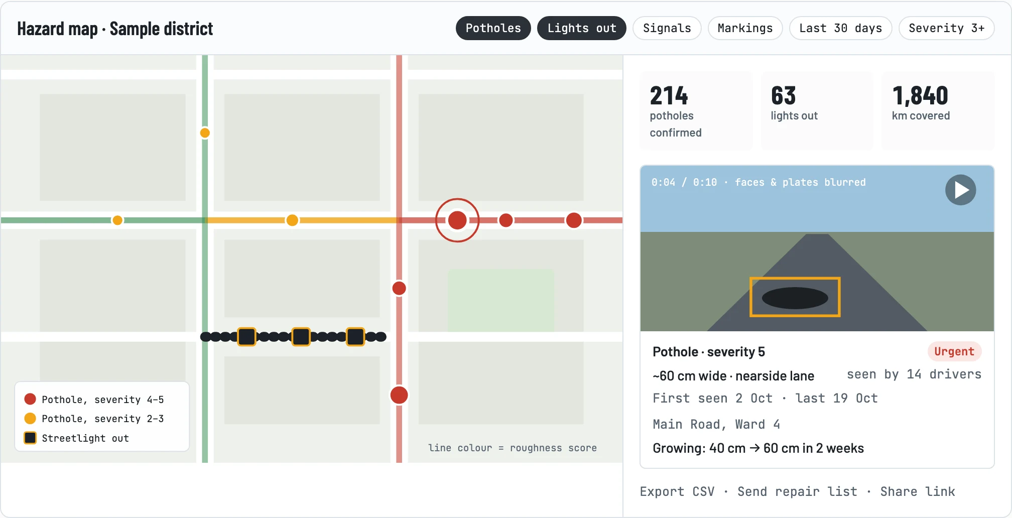
 Live hazard mapEvery confirmed pothole, dark street and broken signal, pinned and ranked. For councils and road agencies.
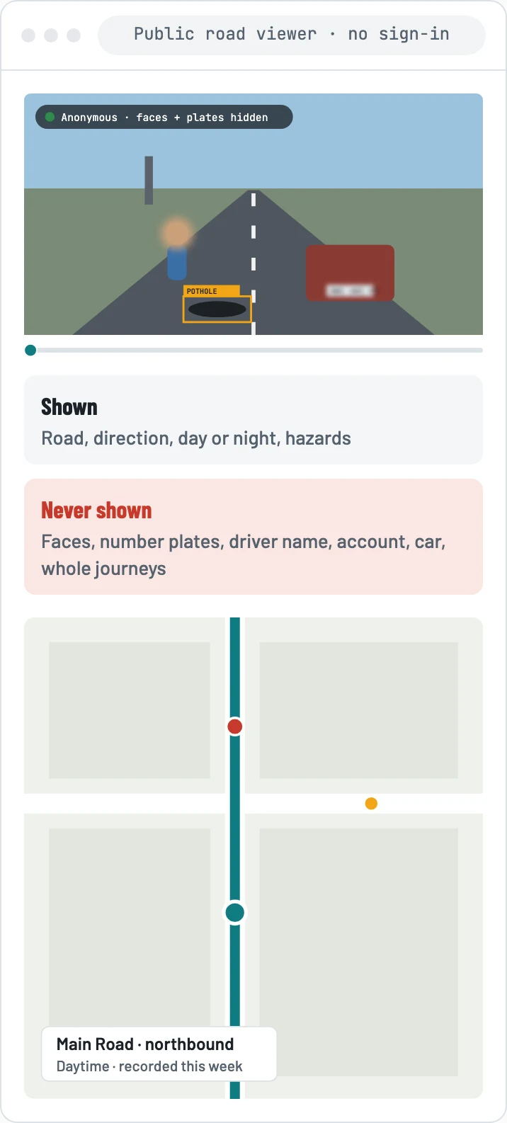
 Public road viewerAnyone can watch any road, by day or night, with faces, plates and drivers hidden.
 My drivesEach driver's own processed footage, searchable, with clips and incident packs for insurers.
 Repair lists and reportsThe worst problems in each area, ready to send to a works team, with before-and-after once fixed.
 Road quality scoresHow rough every street is and how fast it is getting worse. Useful for planners, fleets and route apps.
 Night safety mapDark stretches and broken streetlights, so residents and walkers know which streets are lit.
What it could find
Each problem is seen by the camera, and many of them are also felt by the phone's motion sensors. One car is a hint. Many cars passing the same spot is evidence. A pothole seen by fourteen drivers is real, and one that stops showing up has probably been fixed.
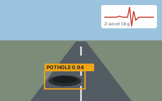 PotholesSeen by the camera and felt as a jolt. Size and how quickly it is growing.
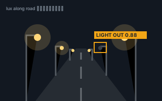 Streetlights outDark lamps and long unlit stretches, checked on night drives.
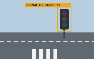 Broken traffic signalsSignals that are dark or showing the wrong lights.
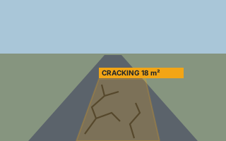 Cracks and worn surfaceEarly damage, when a repair is still cheap.
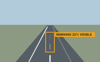 Faded markingsLane lines, zebra crossings and stop lines that have worn away.
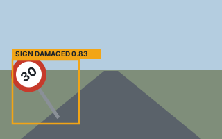 Damaged or missing signsKnocked over, covered by trees, or gone.
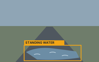 FloodingStanding water that is still there long after the rain stopped.
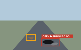 Open manholes and debrisThe urgent ones, which need flagging within minutes, not months.
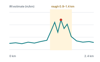 How rough the ride isA score for every stretch of road, from the motion sensors alone.
Who might use it
Anyone who spends a lot of time on the road with a phone on the dashboard could use this. A few groups stand out as possible early adopters:
 Ride-hail driversOn the road all day, already mount their phone, and gain from dashcam evidence in disputes with passengers.
 CommutersDrive the same routes twice a day, so they spot changes quickly.
 Delivery and logistics fleetsCover a whole city every day and care about damage to their vehicles.
 Bus and taxi operatorsRun fixed routes on the busiest roads.
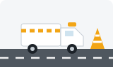 Council and utility vehiclesAlready on the roads that the council is responsible for.
 Everyday car ownersAnyone who wants a dashcam without buying one.
Which of these will actually pick it up first? Honestly, I don't know yet. That's part of what the experiment is for.
What drivers get
I'm asking drivers to mount their phone and let it record, same as they would with a dashcam. In return, the app has to be worth having on its own. Here is what I'm testing:
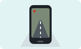 A dashcam they already ownNo extra hardware. The phone does the job.
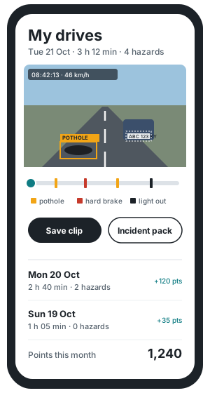
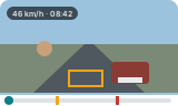 Access to their processed videoEvery drive is kept in the cloud, ready to watch any time, with faces and plates blurred, hazards on the timeline, and speed and location on every frame. Easy to find by date or place.
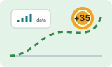 Points for uploadingEvery new stretch of road earns points. They could be swapped for mobile data, so the app helps cover the data it uses.
 Evidence when something goes wrongFootage with time, speed and location can settle a crash, a fare dispute or a complaint quickly, which could mean fewer disputed insurance claims.
Their drives, processed and searchable
You don't just get raw files back. Once the cloud has processed a drive, you can watch it with faces and number plates blurred, hazards and hard brakes marked on the timeline, and the time and speed on every frame. Jump straight to a moment, save a clip, or turn it into an incident pack for your insurer. Each drive also shows the points it earned you.
Built around real life on the road
None of this works if it costs drivers something they care about. So a few rules shape everything:
- Hands-off. It starts and stops on its own and never asks for your attention while the car is moving.
- Careful with data. Data is not cheap. The app skips footage from when you're stuck in traffic, and skips roads your car has already covered that week, keeping one daytime view and one night view. If you drive the same route every day, your uploads drop to very little after the first week.
- Light on the phone. Footage leaves your phone as soon as it's safely uploaded, so your storage doesn't fill up.
- Private by default. Faces and number plates are blurred before anyone sees anything, and nothing shown publicly says who recorded it or where any one driver went.
What the result looks like
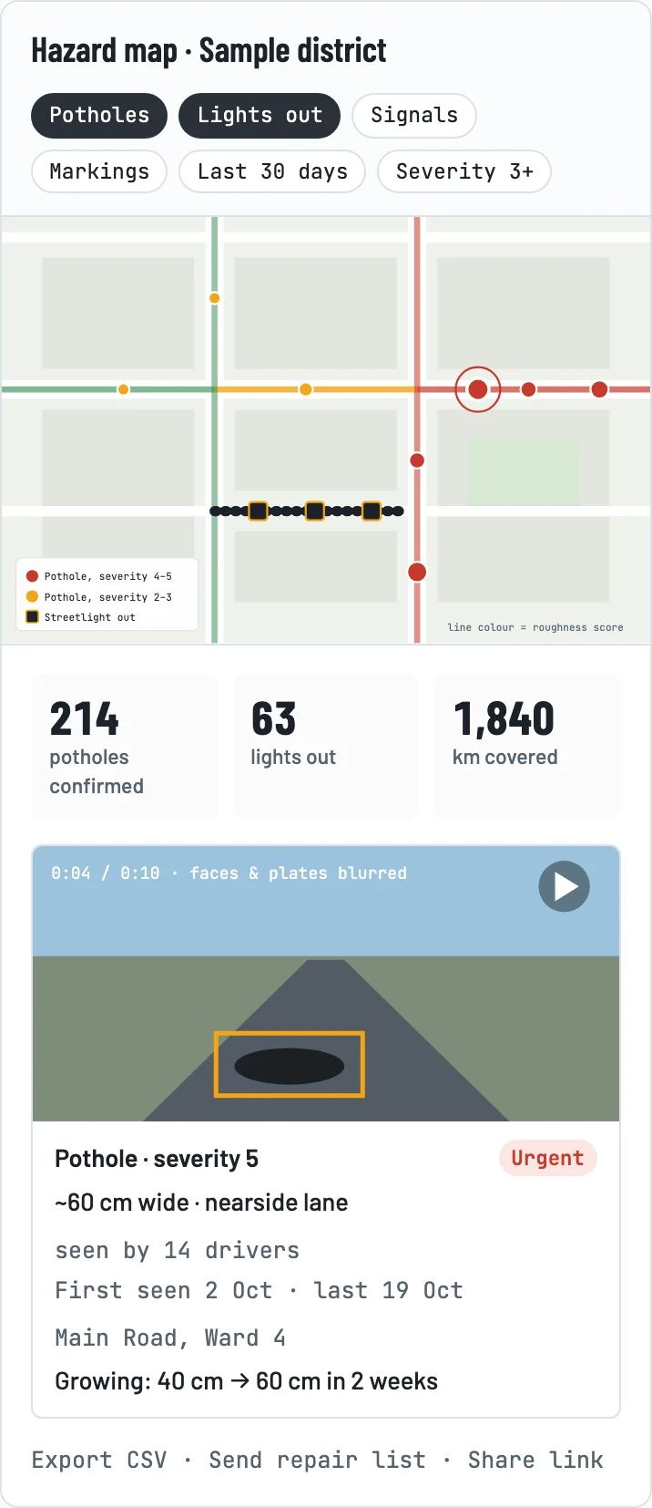
Once enough footage comes in, a council or road agency doesn't have to wait for complaints. They open a map. Every confirmed problem is a pin with a short blurred clip, how bad it is, how many drivers have seen it and whether it's getting worse. Pulling up the worst potholes in a district and sending a repair list takes minutes, not months.
Open to everyone
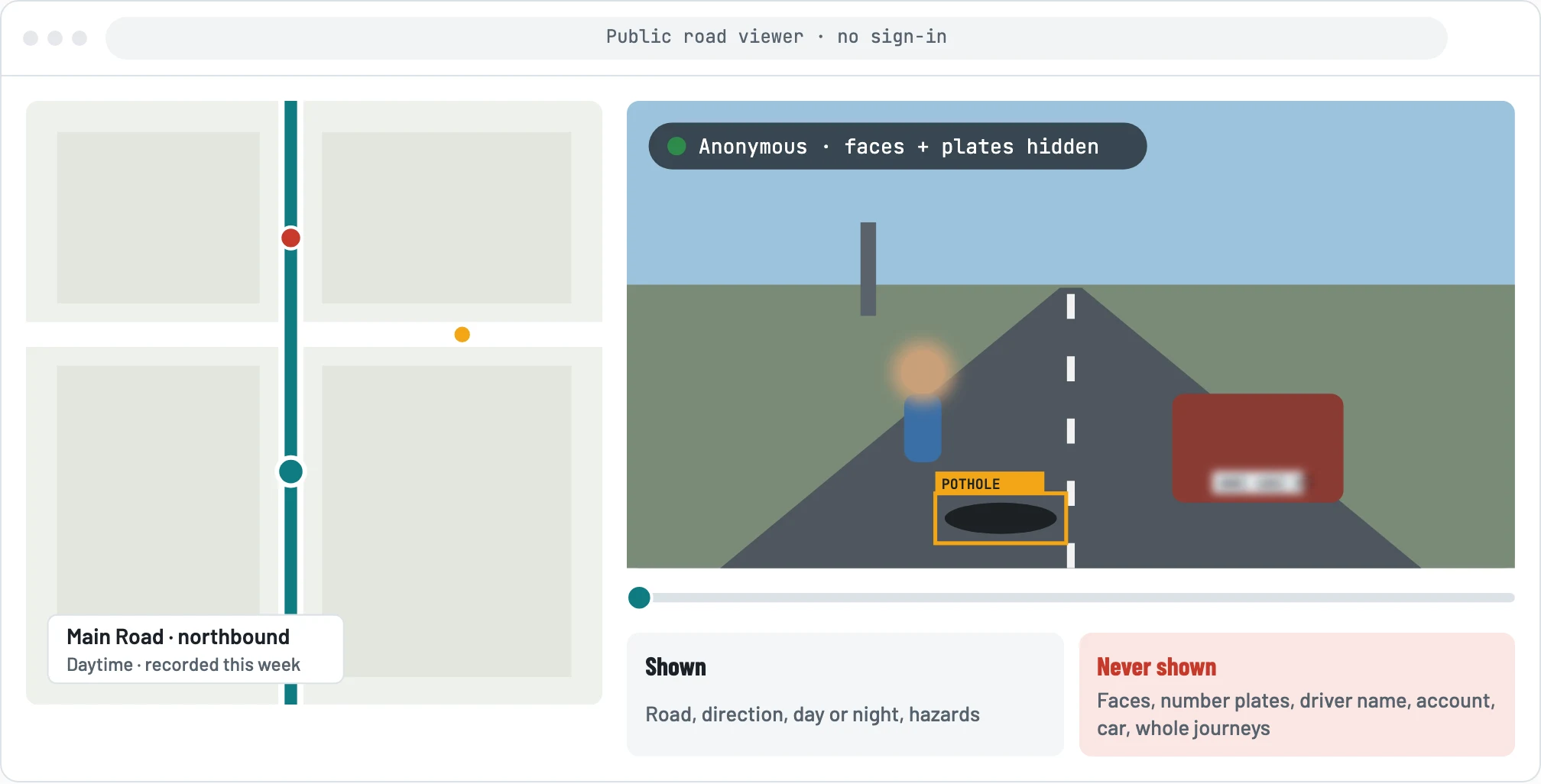
I don't want this video locked away. Anyone should be able to watch it on a public website, no account needed. Before anything goes up, faces and number plates are covered, and there is nothing about the driver. No name, no account, no car details.
The public site shows roads, not drivers. Video is arranged by stretch of road, direction and time of day, so you can see what a road looks like this week, in daylight or at night. What you can't do is follow one car from start to finish, because that alone could tell you where someone lives or works.
What we don't know yet
Let me be clear: all of this is an experiment. The point is to find out whether collecting road information this way works at all, and whether drivers think it's worth their while. Some of the biggest questions are still open:
- Who would adopt it first? Ride-hail drivers, commuters, fleets or someone else entirely.
- What should points be worth? Enough mobile data to cover uploads, or something else drivers value more.
- Who pays for the data? Uploading video costs data, and drivers shouldn't carry that cost alone.
- Would insurers back it? If footage really reduces disputed claims, insurers might help pay for drivers to use it.
- Who would pay for the map? Councils and road agencies, insurers, mapping and logistics companies, or the public.
- Will road owners act on it? A map only helps if someone sends a repair crew.
- How accurate can it be on our roads? Roads, lighting and vehicles look different from place to place, so the models will need to learn from local footage.
- How open should the public site be? Open video builds trust and lets anyone check a road, but blurring has to be reliable every time before footage goes public.
- How do we earn trust? Drivers need to be confident about how their footage and location are used. The public needs the same confidence about being filmed.
- Does it work on everyday phones? Heat, battery and storage on a budget phone running all day.
The next step is a small trial with drivers I know personally, so some of these get answered with real numbers instead of my guesses.
If you drive a lot, run a fleet, work on roads, or you just have thoughts, I'd love to hear from you.